
Costa Rica
Facts about Costa Rica:
Location
In Central America, between Nicaragua and Panama, with coastlines on both the Pacific and Caribbean.
Capital & people
The capital is San José, and the population is about 5.2 million.
Coastlines
Nearly 1,300 km of shoreline, from surf beaches on the Pacific to coral reefs on the Caribbean.
Volcanoes & mountains
Over 60 volcanoes and high mountain ranges shape the landscape and climate.
Biodiversity & parks
Home to 5% of the world’s species, with more than 25% of land protected as national parks.
National dish
Gallo Pinto (rice and beans) is the traditional favorite, often served with eggs and plantains.
Pura Vida
The national motto means “pure life” and reflects the country’s laid-back, nature-loving spirit.
Highlights of Costa Rica


Uvita
Where the jungle meets the sea
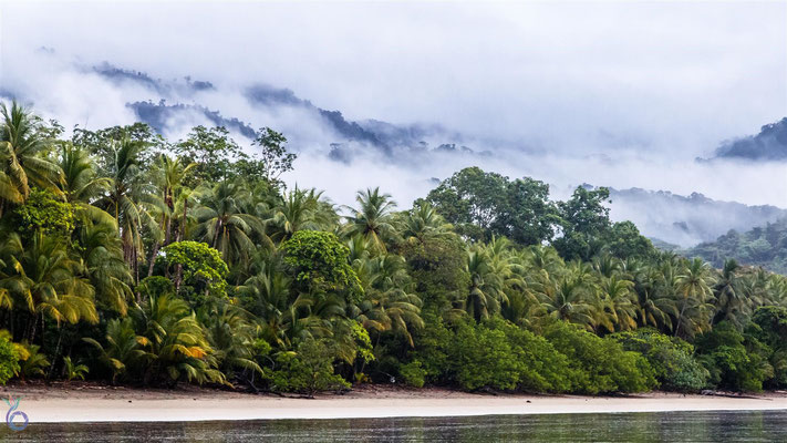
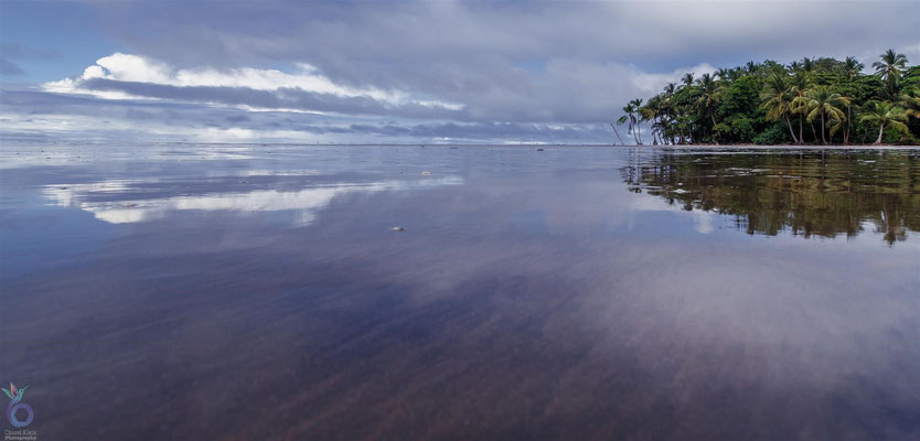
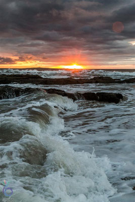
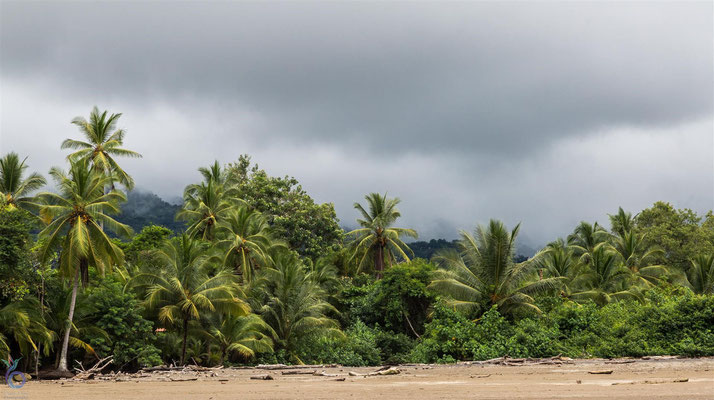
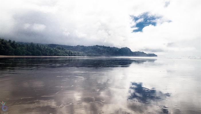
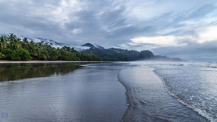
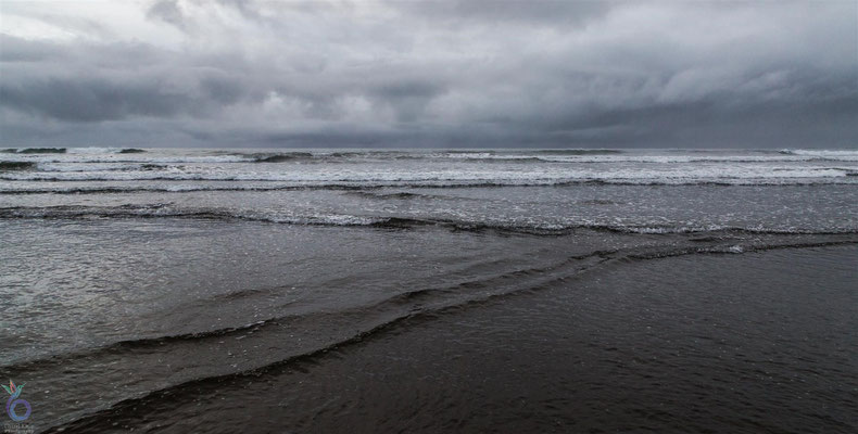
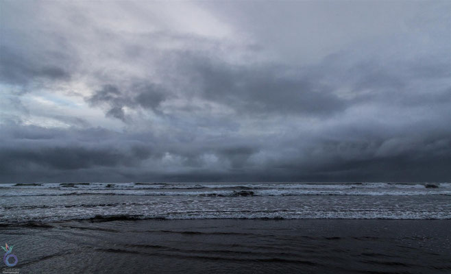
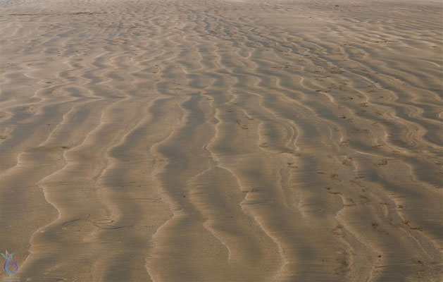
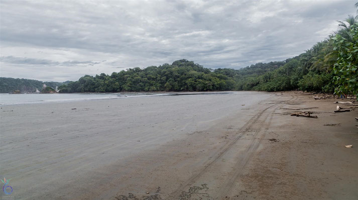
Our journey through Costa Rica began in Uvita, a laid-back town in the country’s southern Pacific region. It turned out to be the perfect place to gently ease into exploring.
Uvita is best known for its famous Whale’s Tail beach, a natural sandbar shaped like—you guessed it—a giant tail. At low tide, you can actually walk along the formation, which many travelers describe as one of the most beautiful beaches in Costa Rica.
This stretch of coastline is also a hotspot for whale and dolphin watching, especially during migration season. Sadly, we visited in the rainy season, which meant misty mornings, high waves, and no whale sightings from the shore.
But the upside?
The beaches were nearly deserted. Walking for kilometers with nothing but the sound of waves and rainforest birds felt like having a private paradise.


La Fortuna & Arenal Volcano
Costa Rica's Fiery Icon
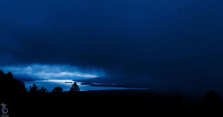
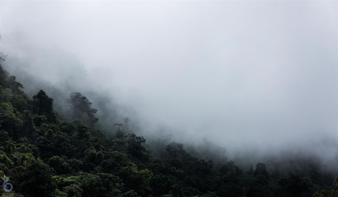
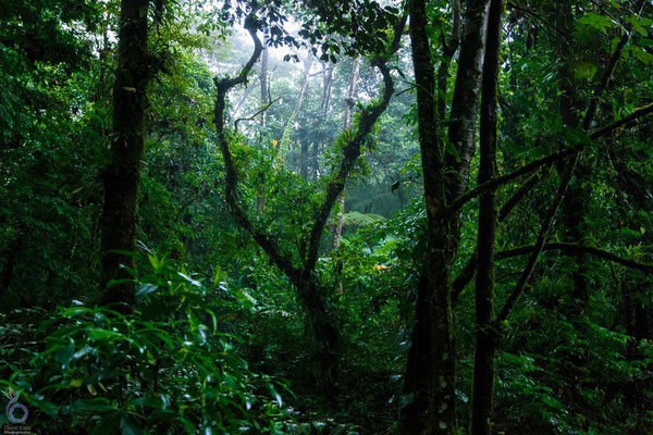


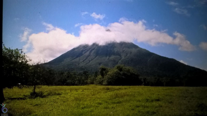
Our next stop was La Fortuna, the gateway to the mighty Arenal Volcano in northern Costa Rica. Rising to 1,633 meters, Arenal is the country’s most iconic volcano thanks to its perfect cone shape and dramatic history. After centuries of dormancy, it suddenly erupted in 1968, transforming the landscape and reminding everyone of its power.
Because of its activity, hiking directly up Arenal wasn’t possible, but nearby there’s a smaller, long-extinct volcano called Cerro Chato. Its crater holds a striking aqua-green lagoon, a hidden gem surrounded by lush forest.
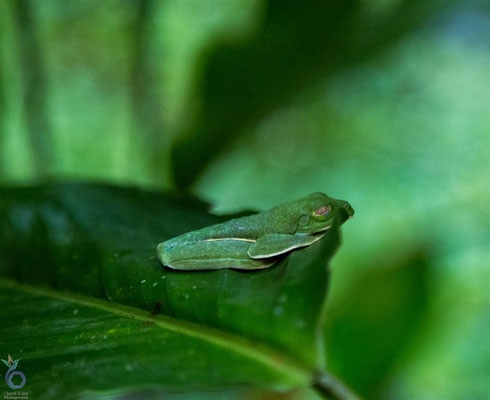
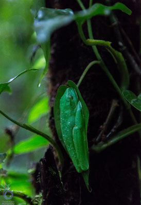
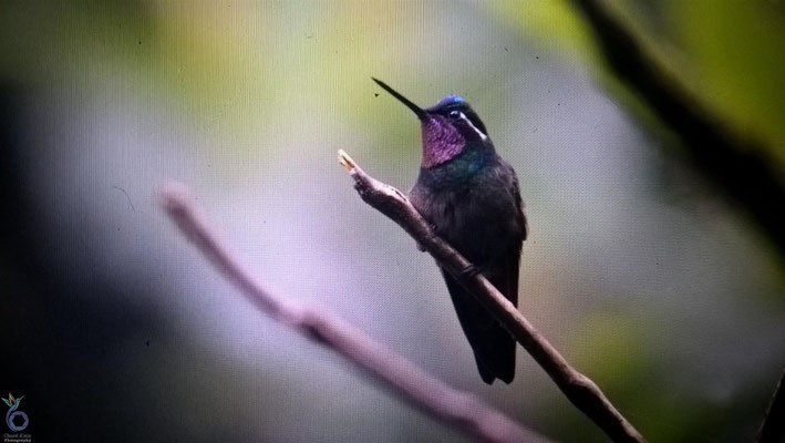
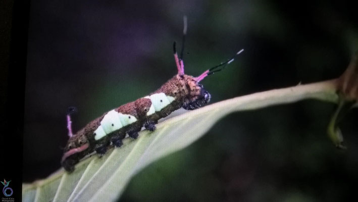
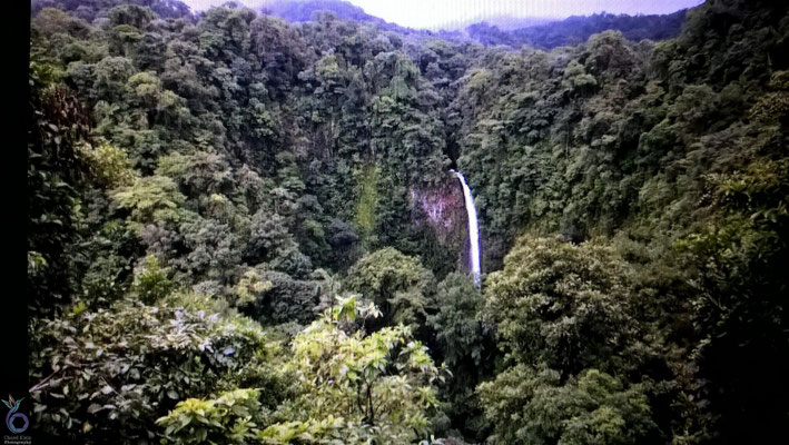
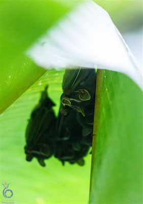
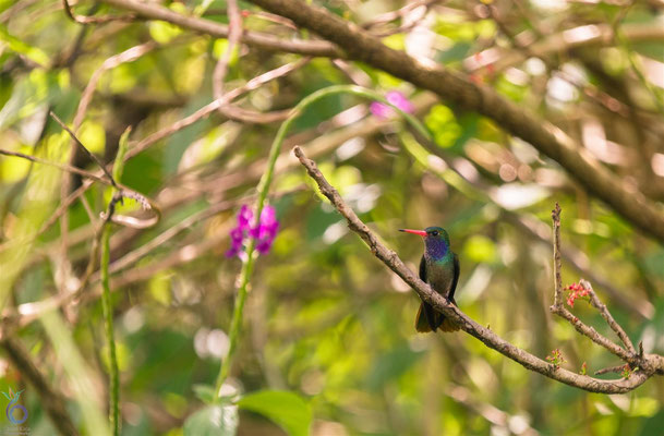
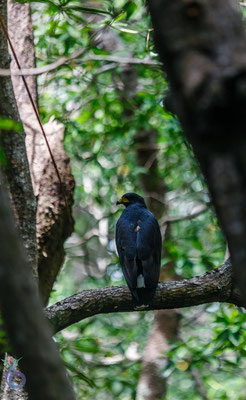
The region offers plenty beyond the volcanoes. We visited the La Fortuna Waterfall, plunging 70+ meters into a turquoise pool, and soaked in the area’s natural hot springs. The Arenal National Park itself is extraordinary—four different life zones converge here, creating a biodiversity hotspot where nearly 75% of Costa Rica’s wildlife species can be found.
Unfortunately, many of my photos from this stop disappeared along the way—only a handful of mobile screenshots remain. But the memories of the misty rainforest, vibrant wildlife, and steaming hot springs are impossible to lose.
Manuel Antonio
Small but mighty
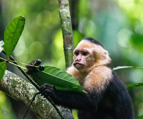
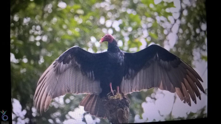
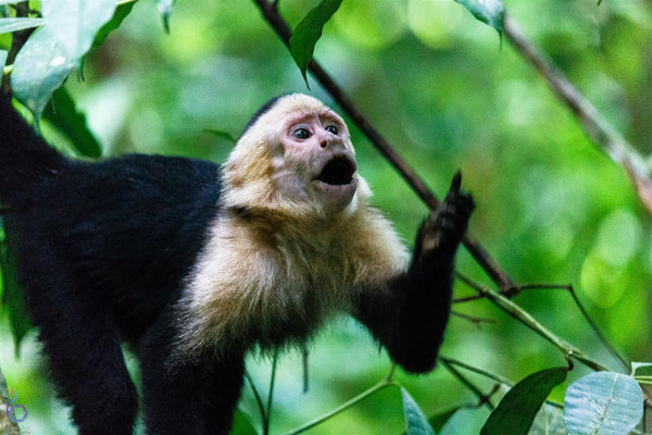
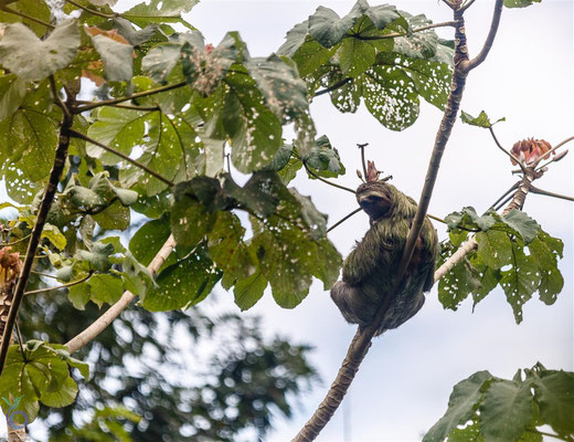
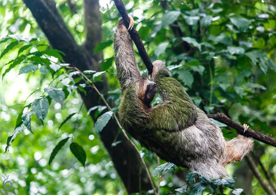
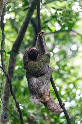
Next came Manuel Antonio National Park, Costa Rica’s smallest protected area—but one of its most famous. Tucked along the Pacific coast, it blends white-sand beaches, lush hiking trails, and wildlife encounters in a way few places can.
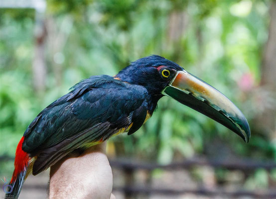
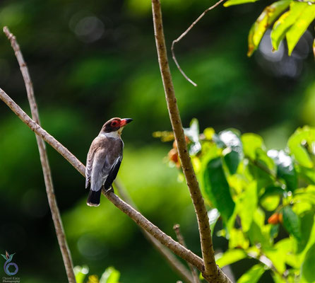
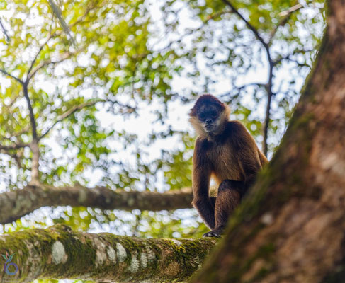
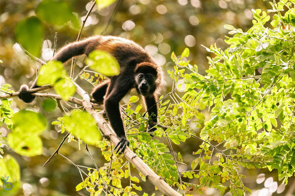
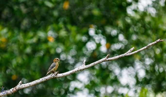
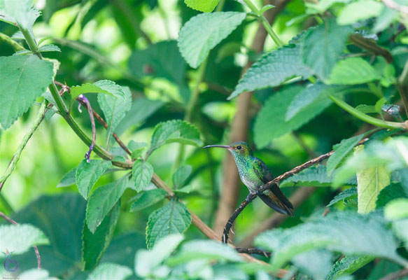
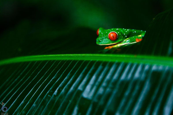
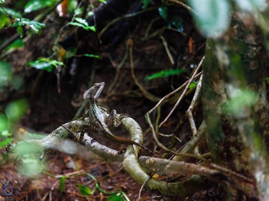
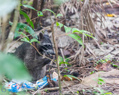
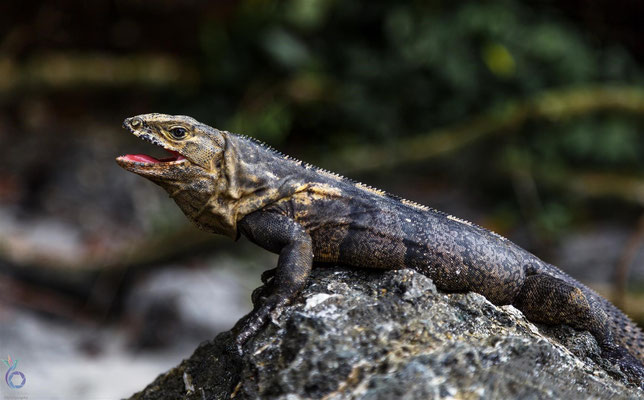
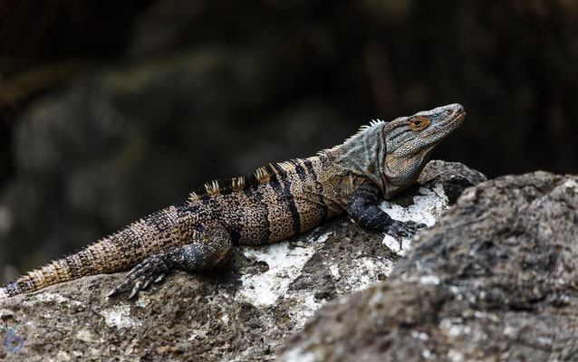
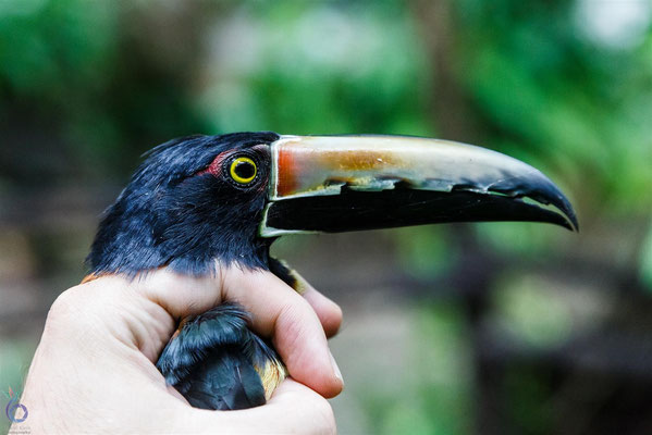
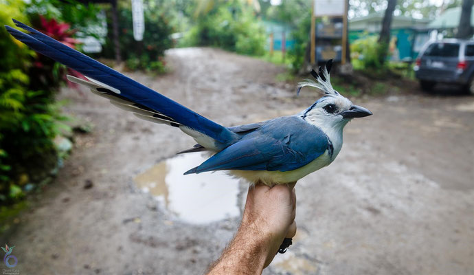
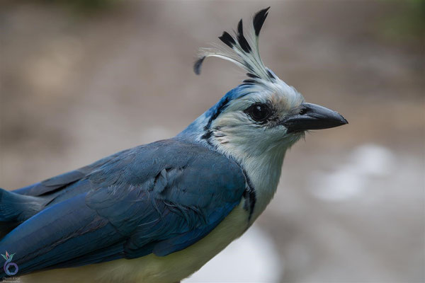
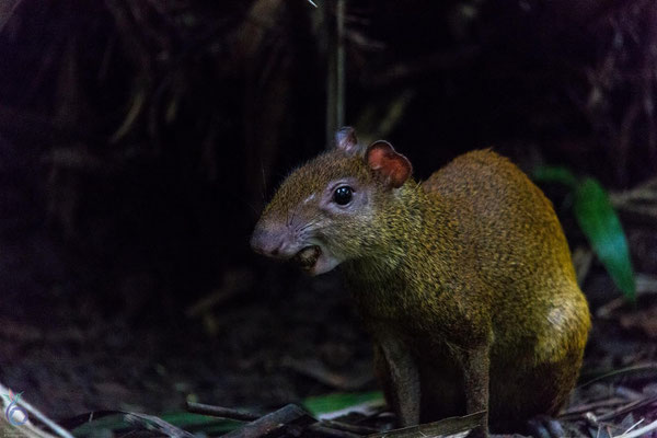
Despite its modest size, Manuel Antonio is home to over 100 mammal species and nearly 200 bird species. Sloths, howler monkeys, toucans, and iguanas all call this park home.
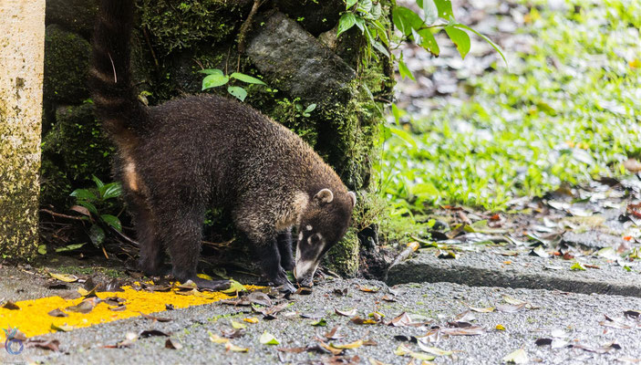
One quirky (and slightly cheeky) detail: it’s forbidden to bring food inside, because the local monkeys and raccoons have learned how to raid tourists’ backpacks. These clever little “gangs” can unzip bags and snatch snacks in seconds—it’s both hilarious and a bit alarming!


Santa Teresa
Surf, Sand & secret trails

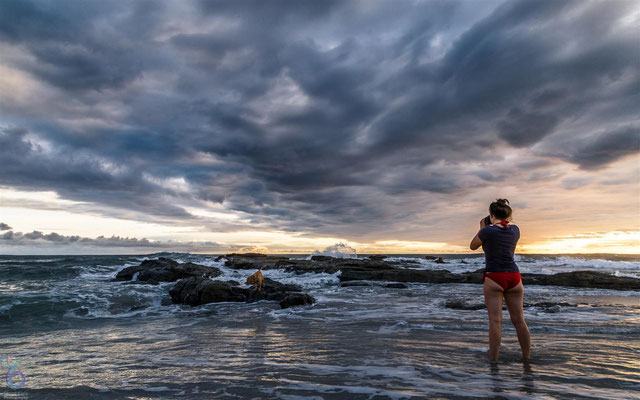

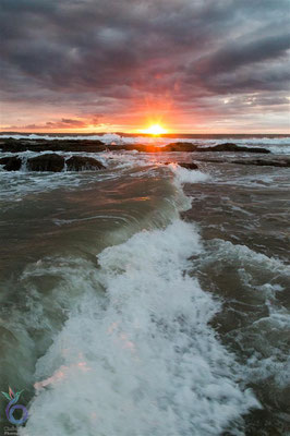
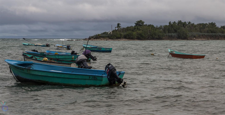

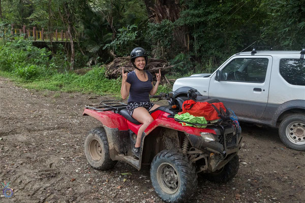
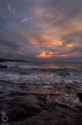

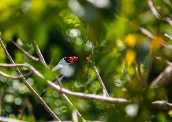


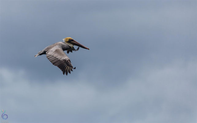
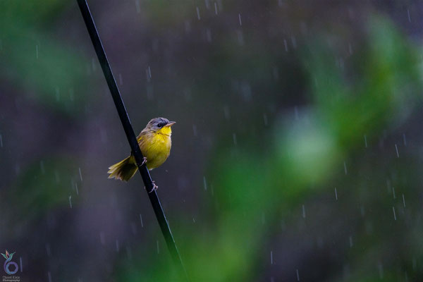
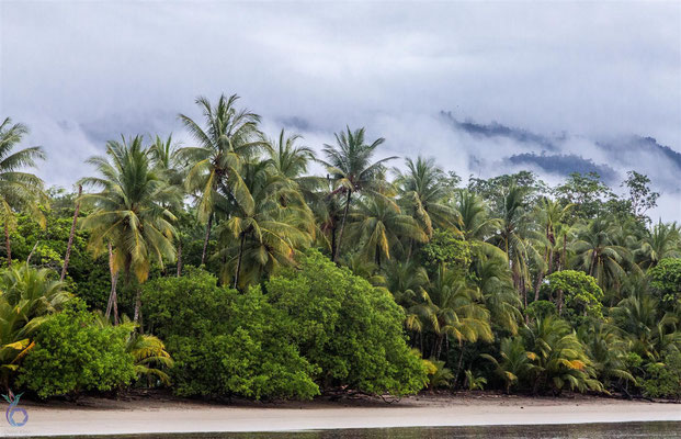
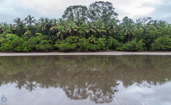
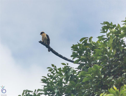
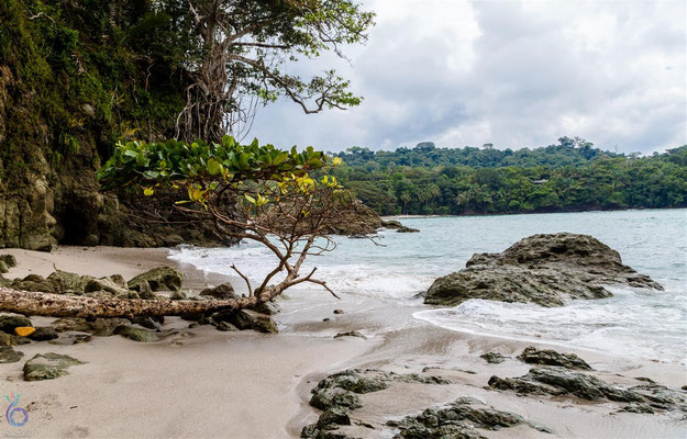
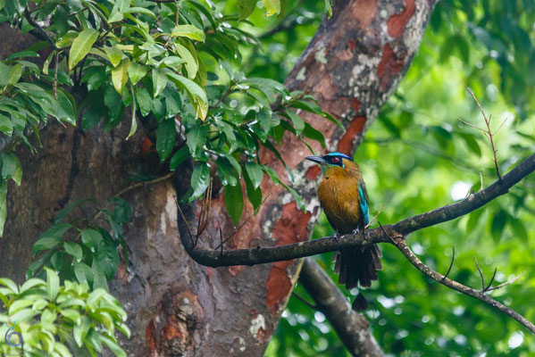
Our final stop in Costa Rica was Santa Teresa, once a sleepy fishing village, now a thriving surfer’s paradise on the Nicoya Peninsula. Unlike the wetter Caribbean side, the Pacific coast here is drier, with broad-leaf forests and excellent weather for both surfing and birdwatching. During migration season, the skies fill with flocks of resting birds—a treat for any nature lover.
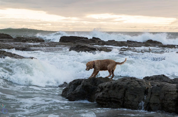
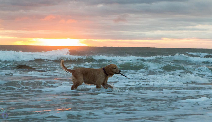
To explore the area, we rented a quad bike and spent days bouncing along dirt roads, chased by curious dogs and discovering hidden gems. One of the highlights was visiting Cabuya Island, also known as Cemetery Island, which you can actually walk to at low tide.
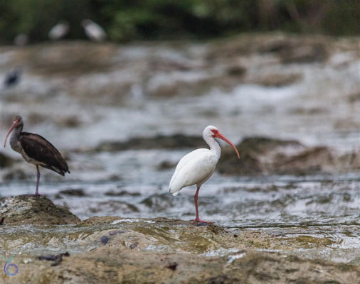
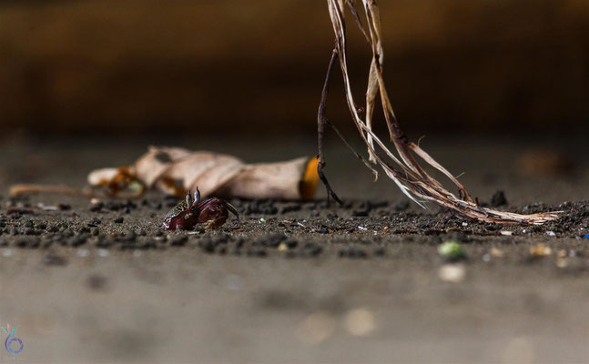
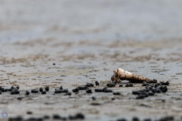
We also made a trip across the peninsula to the Curú Wildlife Refuge, a 1,500-hectare protected area with mangroves, beaches, semi-deciduous forest, and marine habitats. It felt like a condensed version of Costa Rica’s biodiversity all in one spot.
Santa Teresa turned out to be the perfect place to wrap up our Costa Rican journey. Afterward, we spent a final week in the capital San José, preparing for the next adventure: crossing into Panamá through Puerto Viejo.